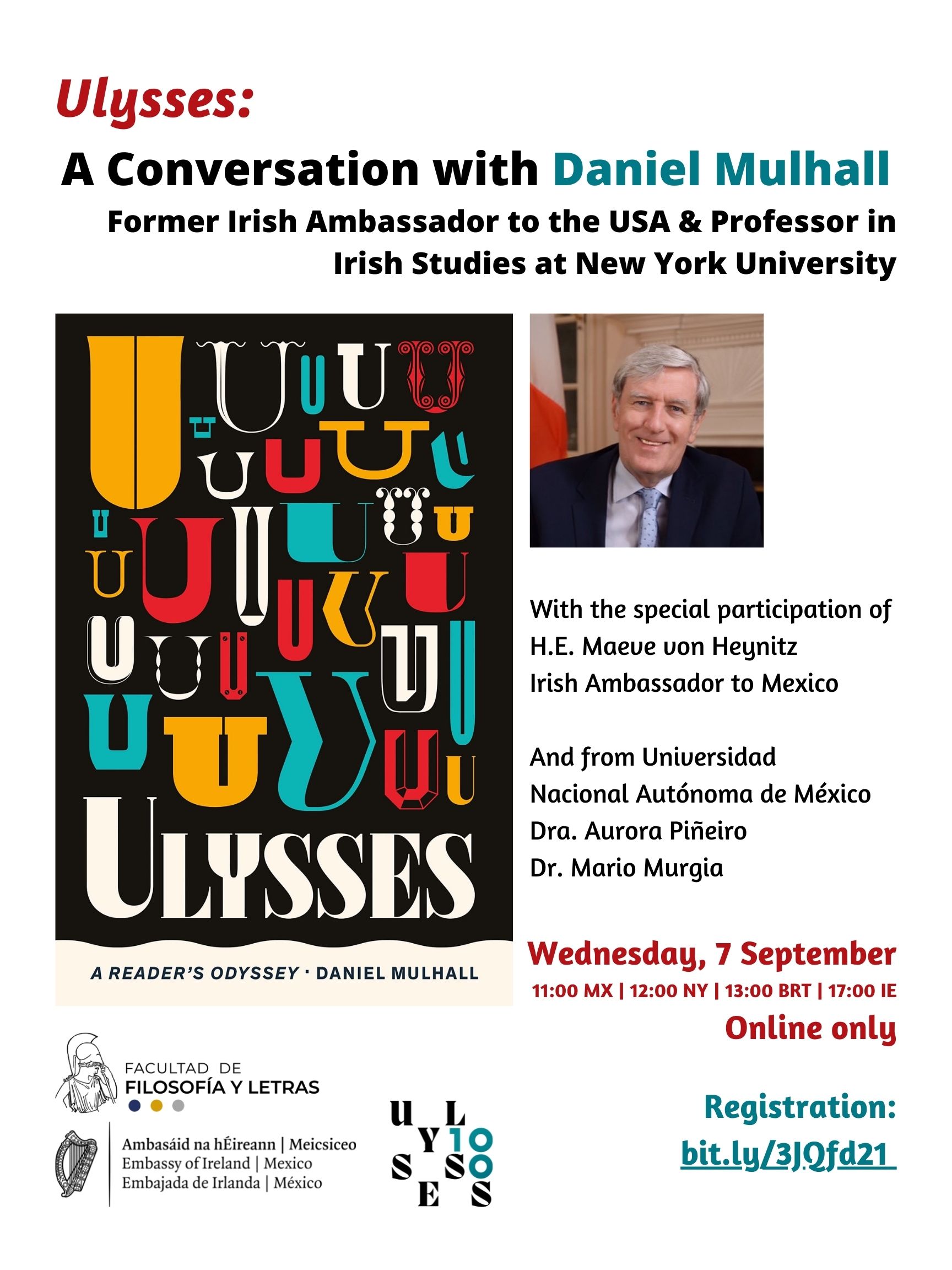
Joycean Cartographies
Celebrate the publication centennial of James Joyce's Ulysses in a two-day conference at The Huntington, San Marino, California.
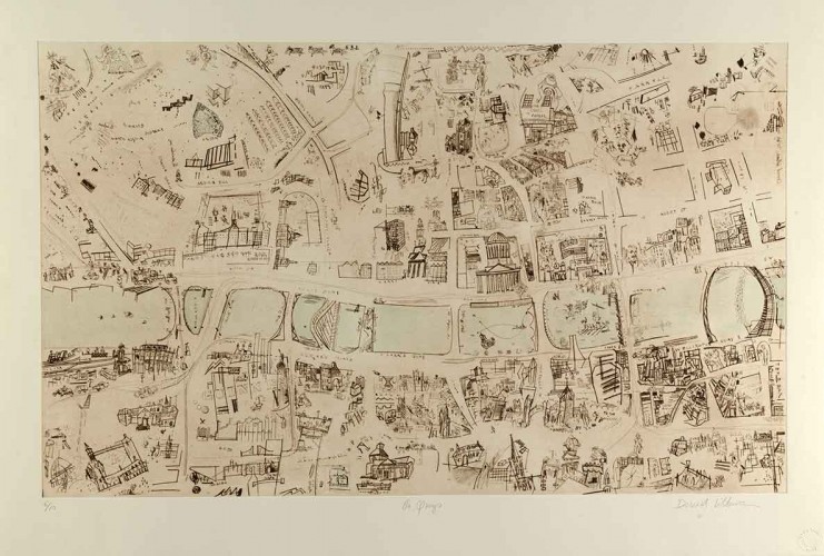
David Lilburn. “The Quays” from In medias res, 2006. Intaglio print on paper, 31 x 46 in. © David Lilburn, 2021. The Huntington Library, Art Museum, and Botanical Gardens.
Celebrate the publication centennial of James Joyce's Ulysses in a two-day conference at The Huntington.
Joyce's Ulysses uses Dublin as map as well as palimpsest upon which to inscribe his vision of worlds past and present. This conference will explore approaches to literary study that make clearer the verbal and nonverbal coordinates of Joyce's literary terrain and their global expressions.
Topics will range from forms of visualization (schemas, maps, charts, word indexes) to decolonization, intertexts and intermedia, mapping as metaphor and places as texts, in an effort to open up new ways of reading. In tandem with the conference, The Huntington will host the exhibition "Mapping Fiction" on novels and maps from the 16th through the 20th century, including a newly acquired series of engraved maps derived from Ulysses, made by the artist David Lilburn.
Find out more: https://www.huntington.org/joycean-cartographies